



Newsletter Subscribe
Enter your email address below and subscribe to our newsletter
[forminator_form id="25163"]

All voices matter

Iran obtained high-definition satellite photographs of a U.S. military installation in Jordan from Chinese sources before a July attack that killed three American soldiers, according to a report by The Wall Street Journal News Corp citing U.S. officials familiar with…

Google Alphabet Inc. removed an AI-powered image generation feature from Google Earth after researchers, journalists, and open-source intelligence analysts demonstrated it could easily produce misleading satellite imagery of fabricated events.

Google Alphabet Inc. rolled back an AI image generation feature from Google Earth on Friday, just one day after launching it, following swift and widespread criticism from journalists, security researchers, and open-source investigators who warned the tool was a recipe…
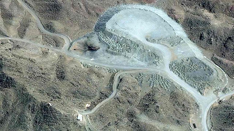
Exclusive satellite imagery obtained and analyzed by CNN shows signs that Iran may be attempting to rebuild nuclear facilities struck by the United States and Israel, even as a top United Nations official warned the Security Council on Thursday of…