Newsletter Subscribe
Enter your email address below and subscribe to our newsletter
[forminator_form id="25163"]

All voices matter
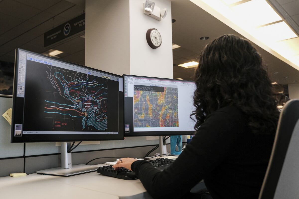
seattlemediumeconomictimes+1seattlemedium+1The most powerful El Niño on record is taking shape in the Pacific Ocean, crossing into "super" territory this month as forecasters warn it will reshape weather patterns across the globe through early 2027.
The latest weekly reading of NOAA's Relative Oceanic Niño Index hit 2.0 degrees Celsius above average — the threshold for the "very strong" category and the point at which the event earns its unofficial "super" label, according to CNN meteorologist Mary Gilbert. NOAA's Climate Prediction Center now places the odds of this El Niño peaking as the strongest since records began in 1950 at 75%, with a greater than 90% chance of a very strong event during this fall and winter.economictimes+2
The event has strengthened at a remarkable pace. A weak La Niña was still in place as recently as early this year before conditions flipped sharply; NOAA formally upgraded its outlook from a Watch to an Advisory on June 11. Only a handful of past events, including the 1982-83 El Niño, have staged such a rapid turnaround.seattlemedium+1
Even before reaching its expected winter peak, this El Niño has left visible marks. In the Atlantic, extreme wind shear has produced a record-long wait for the season's first hurricane, with AccuWeather lowering its forecast to just 8 to 11 named storms. In the Pacific, conditions have been the opposite: 16 storms, including two Category 5 hurricanes, have already formed, with Hawaii facing three tropical systems in under a month. Indonesia is battling widespread wildfires driven by El Niño-related dryness.mezha+2
Weather derivative markets are responding. Bloomberg reported Monday that energy companies and hedge funds are rushing to bet on a mild Northern Hemisphere winter through the growing market for weather derivatives.bloomberg
For the United States, forecasters expect the subtropical jet stream to push wetter-than-normal conditions across the Gulf Coast and Southeast, where precipitation probabilities exceed 60%. AccuWeather long-range expert Paul Pastelok has warned that "blockbuster" nor'easters could bring unusual snowfall up the East Coast. Northern states and the Canadian Prairies, meanwhile, are likely to see warmer and drier conditions, consistent with historical El Niño patterns.ledger-enquirer+2
Not every region fits neatly into the pattern. Utah sits in a no-man's land between El Niño's typical impacts, and the state's assistant climatologist Jon Meyer urged residents to "pump the brakes" on snow expectations, noting that strong El Niños have produced just as many below-average winters for the state as above-average ones.kuer
A coastally trapped Kelvin wave — a surge of warm water tied to El Niño — is working its way north from Baja California and is expected to raise sea levels along the California coast by 6 to 12 inches starting in early October, with effects propagating toward British Columbia in the following weeks. A recent study by researchers at China's Sun Yat-sen University found that past super El Niños accelerated global mean sea level rise, with levels increasing by 9.16 mm during the 2014-16 event and 7.70 mm during the 2023-24 event.theweathernetwork+1
This El Niño is also developing against a backdrop of a much warmer world than previous record-setting events. NOAA adopted the RONI metric this year specifically to subtract out Pacific warming caused by broader climate change, isolating El Niño's own contribution. Even so, this August ranked as Earth's hottest on record, and climate scientists say the current event could help push 2026 and 2027 toward record-hot years globally.economictimes+1
Winter remains the season when El Niño typically peaks in strength and when its influence is most pronounced — meaning its largest impacts are still ahead.